02 / Services
Cadastre
A complete approach to cadastre cases, from filing ownership declarations and correction requests and/or supplementary submissions at the different stages of the cadastral survey (preliminary display, public display and so on) through to preparing geometric change diagrams and handling forest map cases.

Property declarations with formal identification of the parcel, correction of erroneous entries and/or submission of supplementary documents at every stage of the cadastral survey process, and electronic applications for certificates, copies and extracts.
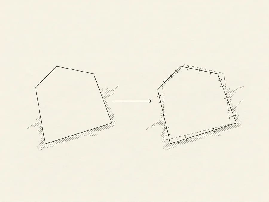
Preparation of a geometric change diagram for any spatial change to a property, submitted electronically to the Hellenic Cadastre with its own KID code.
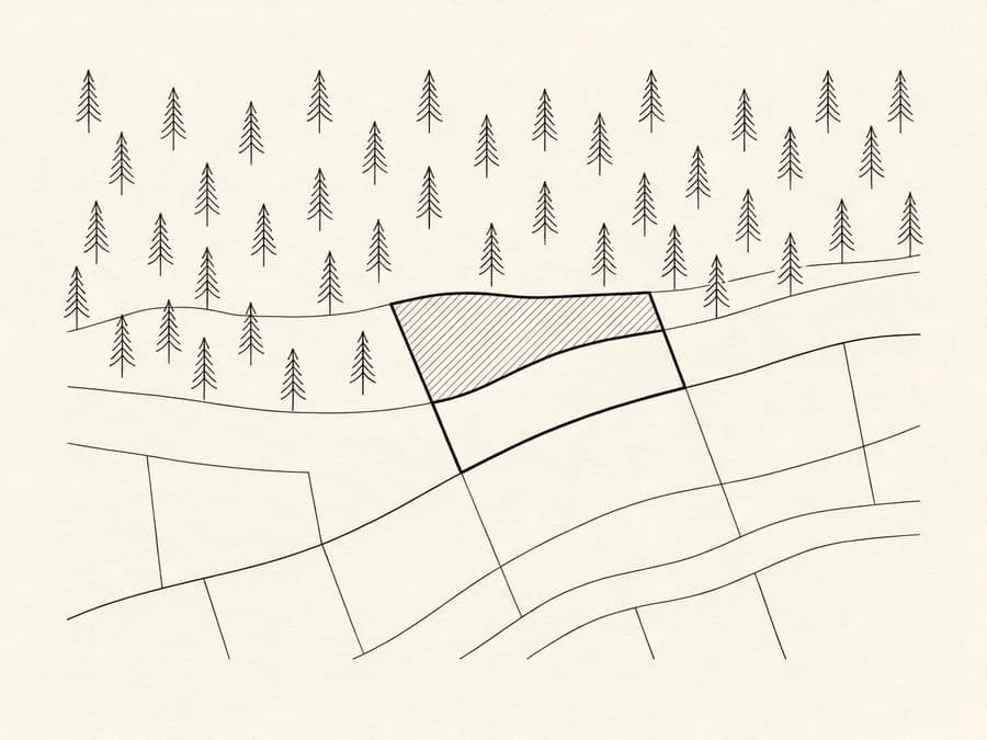
We check how the land is classified on the forest map in force and, based on the map's stage of ratification and the regime in the area, determine the procedure that applies.