
05 / Services
Geometric change diagrams
Preparation of a geometric change diagram for any spatial change to a property, submitted electronically to the Hellenic Cadastre with its own KID code.
A διάγραμμα γεωμετρικών μεταβολών (ΔΓΜ, diagram of geometric changes) records changes to the geometry of parcels as they appear on the cadastral diagrams. It is prepared in areas where the Cadastre is operational and is required, among other cases, for subdivisions, mergers, the creation or removal of exclusive-use areas, rights of way (δουλείες διόδου) and corrections to the boundaries between neighbouring parcels.
A ΔΓΜ is based on the Cadastre's records and on a field survey of the existing situation. The diagram is drawn in ΕΓΣΑ ’87 (the Greek national geodetic reference system) and sets out the existing and the proposed geometry, the changes to boundaries and areas, and the coordinate tables required. Before submission, the data are checked against the cadastral database.
We take on the preparation, the technical check and the electronic submission of the ΔΓΜ to the Hellenic Cadastre, under a digital signature. The submission issues a ΚΗΔ (electronic diagram code) and a submission receipt (αποδεικτικό υποβολής), which are then used to register the deed or the correction application.
What it covers
- Tied topographic diagram: a survey of the property in ΕΓΣΑ ’87, submitted electronically to the Hellenic Cadastre with a ΚΗΔ issued.
- Cadastral check: the topographic diagram cross-checked against the cadastral database, and any divergence in boundaries, geometry or areas identified.
- ΔΓΜ drafting: the changes identified recorded on the diagram of geometric changes, according to the facts of the case.
- Electronic submission: the ΔΓΜ filed with the Hellenic Cadastre, and a new ΚΗΔ and submission receipt issued.
- Delivery: the final diagrams and the information needed to proceed with the notarial deed or the correction procedure.
What we need from you
- Title deeds, and any historic deeds.
- Any earlier topographic diagrams.
- The ΚΑΕΚ code.
- Access to the property, and the owner present to point out the boundaries during the survey.
- An extract of the cadastral diagram.
Related services

Property declarations with formal identification of the parcel, correction of erroneous entries and/or submission of supplementary documents at every stage of the cadastral survey process, and electronic applications for certificates, copies and extracts.
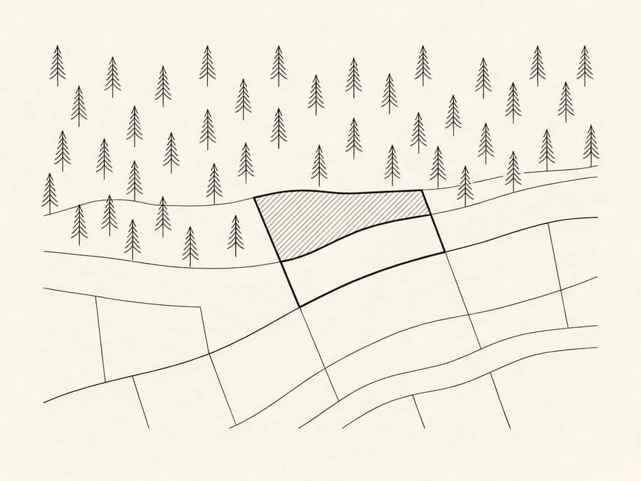
We check how the land is classified on the forest map in force and, based on the map's stage of ratification and the regime in the area, determine the procedure that applies.