
01 / Services
Topographic diagrams
Survey of the property and preparation of a diagram tied to the state coordinate system ΕΓΣΑ ’87, with electronic submission to the Cadastre and a ΚΗΔ issued for the notarial deed.
A topographic diagram is the accurate survey of a property, tied to the national coordinate system, ΕΓΣΑ ’87. It carries the boundaries and the corner points with their coordinates, the area, the adjoining properties, the existing buildings and the roads, along with the engineer's declarations on whether the plot is buildable and on its forest status.
We carry out the field survey, draw up the diagram and sign it digitally, and submit it electronically to the Hellenic Cadastre where that is required. The submission produces the electronic diagram receipt, which carries the unique diagram code, the ΚΗΔ.
What it covers
- Field survey and a fix to ΕΓΣΑ ’87.
- The diagram drawn up with boundaries, coordinates, area, adjoining properties and existing buildings.
- The engineer's declarations, with the checks on buildability and forest status.
- Digital signature and electronic submission to the Hellenic Cadastre, where required.
- Delivery of the diagram with its ΕΓΣΑ ’87 coordinates and of the submission receipt with the ΚΗΔ.
What we need from you
- Title deeds, and any historic deeds.
- Any earlier topographic diagrams.
- The ΚΑΕΚ code.
- Access to the property, and the owner present to point out the boundaries during the survey.
Related services
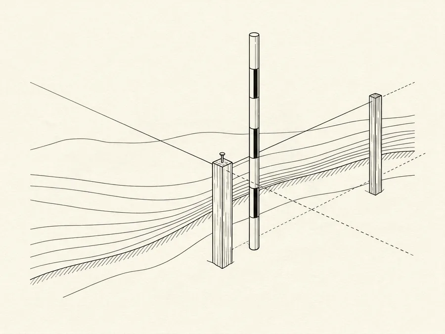
We transfer the property's boundaries from the title deeds and the available topographic diagrams onto the ground, marking the boundary points with fixed reference points.
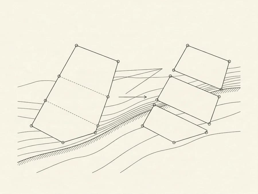
We examine the characteristics and the potential of each property precisely, according to the needs and requirements at hand. We provide reliable technical documentation for the decisions to be made and for preparing any deed required. All aimed at the safe, sound and effective use of your property.