03 / Services
Surveying studies
We examine the characteristics and the potential of each property precisely, according to the needs and requirements at hand. We provide reliable technical documentation for the decisions to be made and for preparing any deed required. All aimed at the safe, sound and effective use of your property.
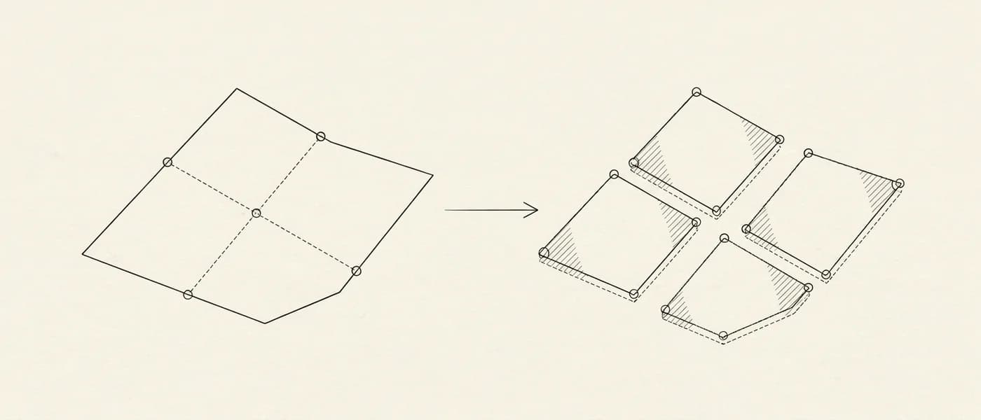
We take on surveying studies for subdivisions, mergers, the creation of horizontal and vertical ownership, rights of way, and the other needs that come with developing or managing a property.
The study begins with a field survey tied to ΕΓΣΑ ’87, alongside a check of the deeds, the cadastral record and the planning terms in force. On that basis we prepare the diagrams and studies required, in line with the technical and planning requirements of each case.
What it covers
- A field survey and a topographic diagram tied to ΕΓΣΑ ’87.
- A check of the deeds, the boundaries and the planning terms, including adequacy and buildability.
- The diagrams and studies required, according to what the case calls for.
What we need from you
- Title deeds, and any historic deeds.
- Any earlier topographic diagrams.
- The ΚΑΕΚ code.
- Access to the property, and the owner present to point out the boundaries during the survey.
Related services
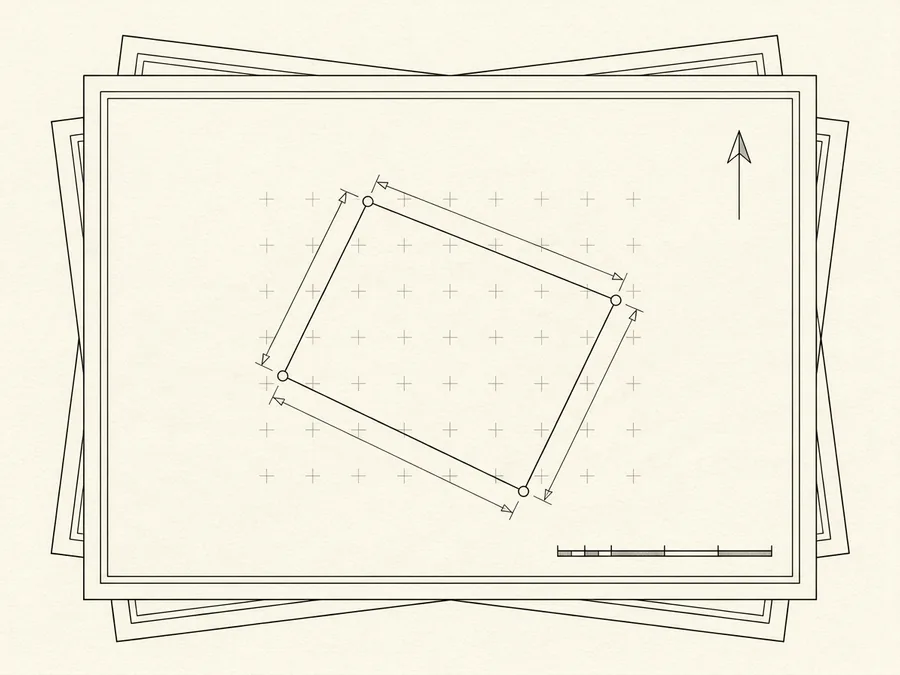
Survey of the property and preparation of a diagram tied to the state coordinate system ΕΓΣΑ ’87, with electronic submission to the Cadastre and a ΚΗΔ issued for the notarial deed.
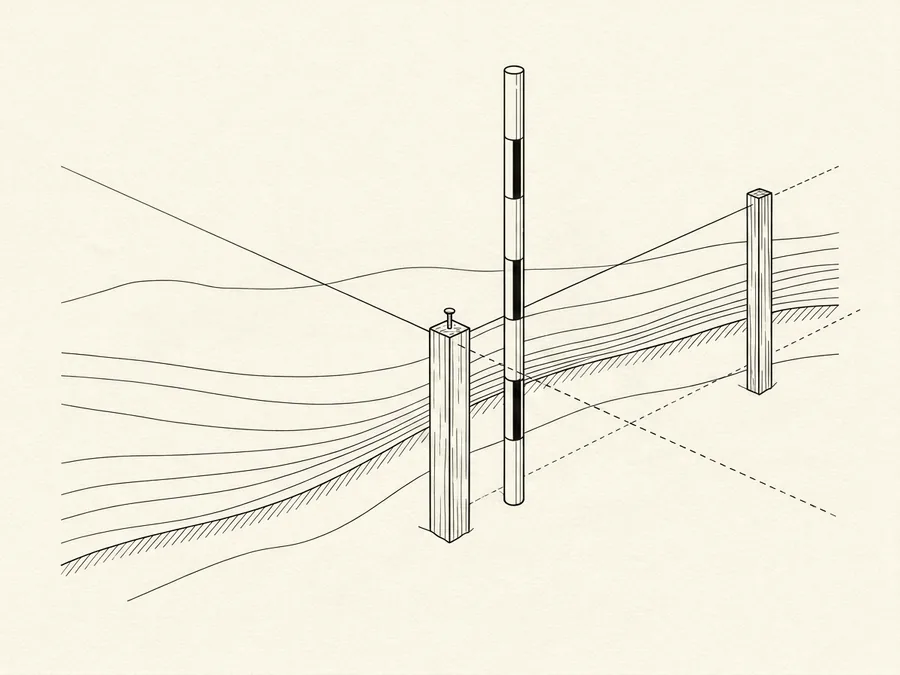
We transfer the property's boundaries from the title deeds and the available topographic diagrams onto the ground, marking the boundary points with fixed reference points.