MK Surveying Konstantinos G. Manouris Dipl. Rural & Surveying Engineer, NTUA Plateia Aeroporias 1, Ilioupoli, Athens
We provide complete technical services, from the survey with modern equipment and the assessment of the case through to its completion.
Services
Our services
We handle every technical and administrative need of your property, from the site visit through to electronic submission.
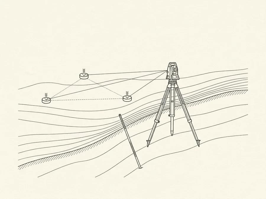
We provide the complete services of a surveying engineer, from the detailed survey of a property and the staking of its boundaries through to the preparation of complex surveying studies.
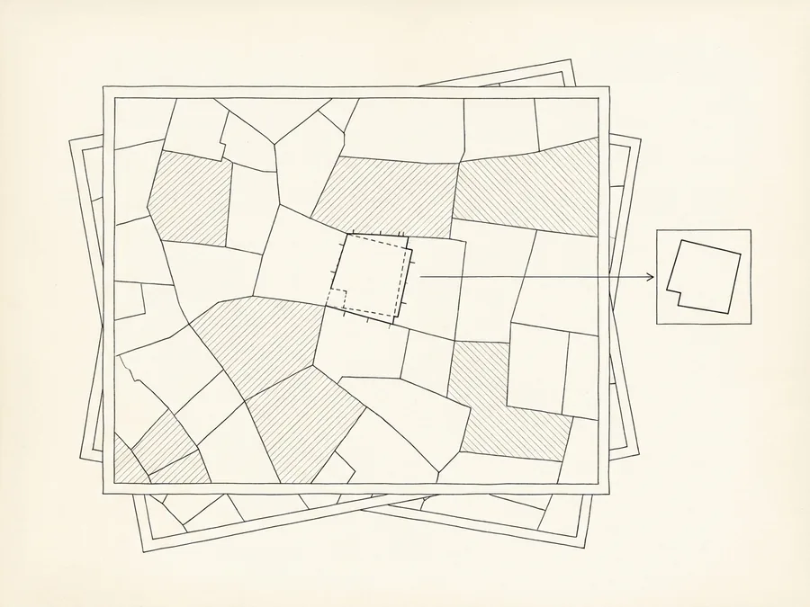
A complete approach to cadastre cases, from filing ownership declarations and correction requests and/or supplementary submissions at the different stages of the cadastral survey (preliminary display, public display and so on) through to preparing geometric change diagrams and handling forest map cases.
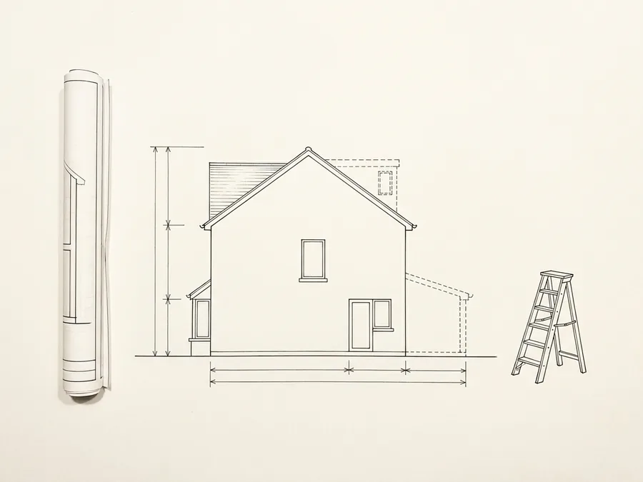
Complete technical support for whatever a property needs, from the legality check before a notarial deed and the legalisation of unauthorised works to the Electronic Building Identity, the Energy Performance Certificate and the approvals and permits required for small-scale works, depending on the case.
Why choose our technical office?
We bring together technical knowledge, professionalism and direct communication at every stage of your case, from the first check and the site visit through to the completion of the process.
01Contact and a first check
You tell us about your case and send us the documents you have, such as title deeds, older topographic diagrams, floor plans, building permits and cadastral records. We go through the material, identify anything missing, and tell you what needs to be done, in what order, and what it costs.
02Site visit and measurements
We visit the property and record the existing condition accurately, using modern equipment. Where required, the survey data is cross-checked against the approved drawings and the property's records, so that any discrepancies or outstanding issues come to light.
03Checking and cross-referencing
We prepare the drawings required and the technical file, cross-referencing the survey data with the title deeds, the building permits and the cadastral record. Any discrepancies or outstanding issues are identified early, and we let you know before taking any further step.
04Submission and delivery
We submit electronically where required, obtain the codes, and hand over the complete file digitally and on paper, ready to be attached wherever it is needed.
Contact
Shall we start on your project?
Need a topographic diagram, a legalisation, or an engineer's opinion? Choose how you would like to get in touch.
FAQ
As a rule, yes. If you are selling a plot or a parcel of land, the topographic diagram is a core part of the transfer and records the boundaries, the area and the features of the property accurately.
Before any transfer, we check the details available for the property and tell you whether a new topographic diagram is required, so that you avoid unnecessary work and delays at the notary.
Contact
Tell us what you need
Describe your case and send us the details and documents you have, such as an earlier topographic diagram, a floor plan, the deed, the ΚΑΕΚ or photographs of the property. Having what is available early helps us assess the case more accurately and tell you specifically which steps are needed.