06 / Services
Forest maps
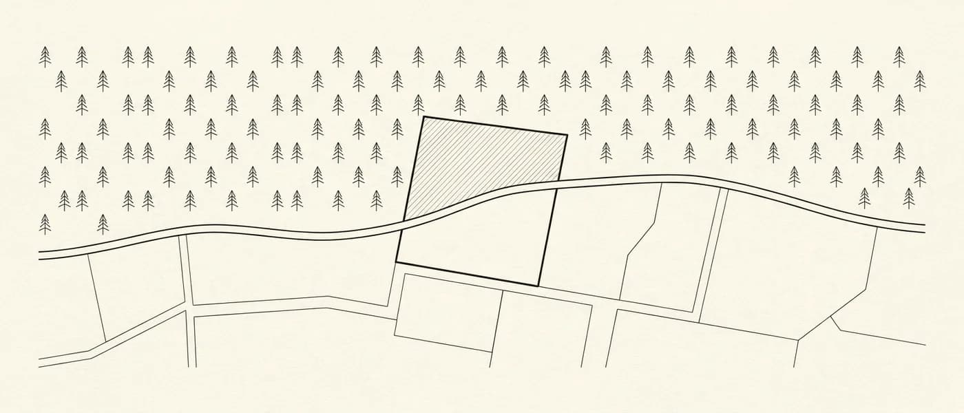
We check how the land is classified on the forest map in force and, based on the map's stage of ratification and the regime in the area, determine the procedure that applies.
A δασικός χάρτης (forest map) records whether land is forest or non-forest. A forest classification can have direct consequences for whether the property can be developed or transferred, which is why the classification has to be checked together with the title deeds and the other facts of the case.
Depending on the stage the forest map has reached, we proceed either with an αντίρρηση (objection), while the map has not yet been ratified, or with an application for αναμόρφωση (amendment) of the ratified map.
We take on the technical check, the preparation of the diagrams and supporting documents required, and the submission of the file.
What it covers
- Check of how the parcel is classified on the posted or ratified forest map.
- Survey plan of the property in dependent ΕΓΣΑ ’87 coordinates.
- Preparation and electronic filing of the objection, with proof of legal interest / application to the Forest Directorate to correct an obvious mapping error.
- The case followed before the Objections Examination Committee until a decision issues.
What we need from you
- Title deeds, and any historic deeds.
- Any earlier topographic diagrams.
- The ΚΑΕΚ code.
- Access to the property, and the owner present to point out the boundaries during the survey.
- Forest office decisions, or any other document proving that your property is not forest land.
Related services

Property declarations with formal identification of the parcel, correction of erroneous entries and/or submission of supplementary documents at every stage of the cadastral survey process, and electronic applications for certificates, copies and extracts.
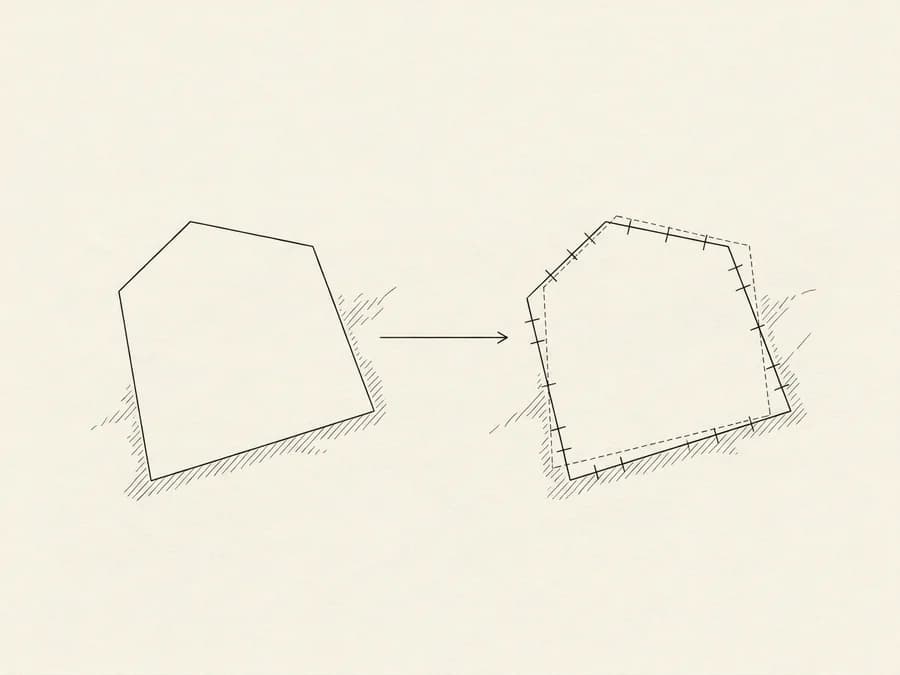
Preparation of a geometric change diagram for any spatial change to a property, submitted electronically to the Hellenic Cadastre with its own KID code.