04 / Services
Cadastre declarations, corrections/objections and applications for certificates
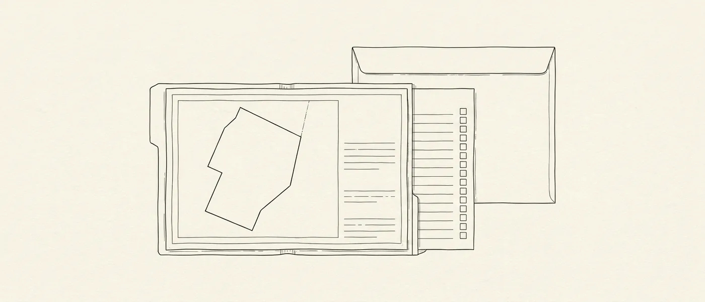
Property declarations with formal identification of the parcel, correction of erroneous entries and/or submission of supplementary documents at every stage of the cadastral survey process, and electronic applications for certificates, copies and extracts.
The Hellenic Cadastre records the rights over properties and gives every parcel a unique ΚΑΕΚ reference. We take on cases at every stage of the process, from the first ownership declaration and locating the property through to correcting details and cadastral entries.
We check the title deeds and the details available for the property, carry out the survey checks needed and prepare the diagrams and supporting documents required. Depending on the case, we handle declarations, correction requests, objections and corrections of geometric data, working with your lawyer or notary where needed.
What it covers
- Title and transcription-certificate check, plus location of the parcel on the Cadastre’s base map.
- Topographic diagram with corner coordinates in ΕΓΣΑ ’87, where required.
- Preparation and electronic filing of the δήλωση ιδιοκτησίας (ownership declaration) with a complete document file.
- Correction request or ένσταση (objection) inside the προανάρτηση or ανάρτηση (preliminary or public display) deadline, with supporting evidence.
- Πρόδηλο σφάλμα (manifest error) or geometric-data correction request in areas where the Cadastre is operating.
- Follow-up until the office decides and, where the correction is accepted, collection of the updated extract.
- Filing of applications for certificates, copies and extracts through the electronic services of the Cadastre and of the transcriptions and mortgages system, or in person at the competent Cadastral Office where required.
What we need from you
- Title deeds and historic deeds, and the corresponding transcription certificates.
- Any earlier topographic diagrams.
- The ΚΑΕΚ code.
- Any other additional supporting documents.
Related services
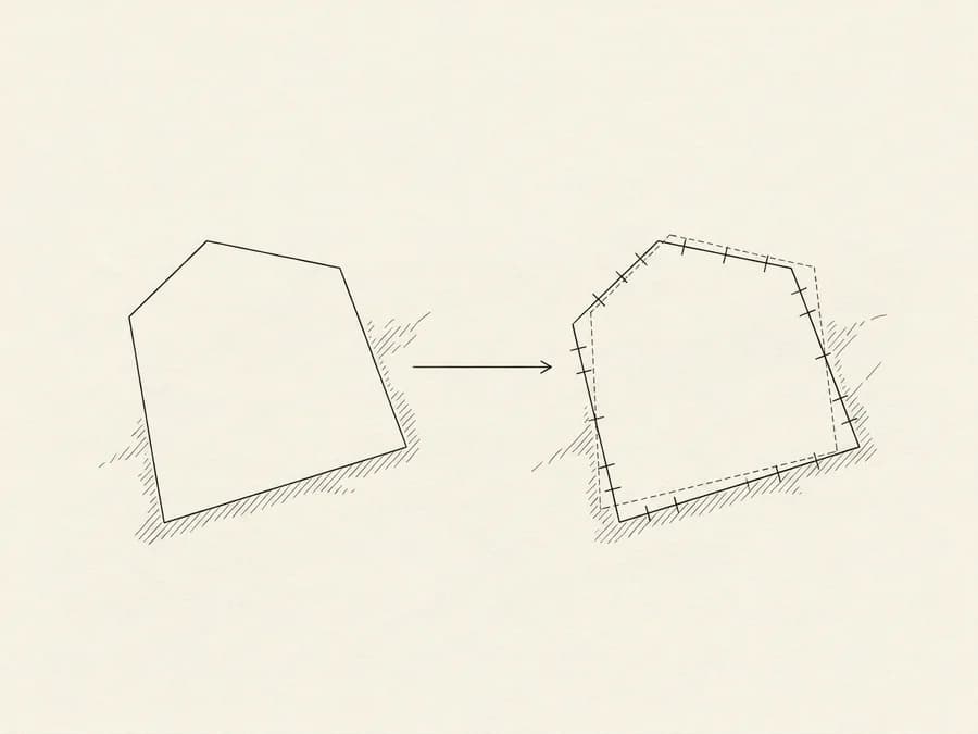
Preparation of a geometric change diagram for any spatial change to a property, submitted electronically to the Hellenic Cadastre with its own KID code.
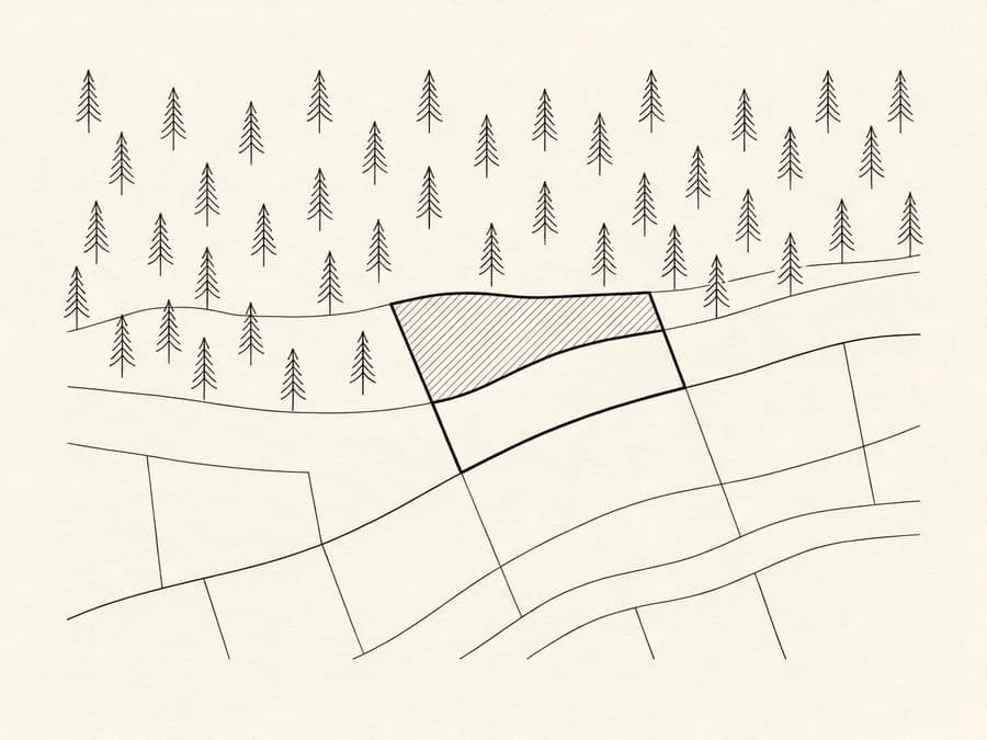
We check how the land is classified on the forest map in force and, based on the map's stage of ratification and the regime in the area, determine the procedure that applies.